
Hydrographic Pact Withdrawl by Maldives
- Context (TH): Recently, Maldives decided to revoke the joint hydrographic survey agreement with India.
- Earlier, Male skipped the annual Columbo Security Conclave meeting.
Hydrographic Survey Pact 2019
- It was signed between the Indian Navy and Maldives National Defence Force in 2019.
- The pact allowed India to study the island nation’s territorial waters, ocean relief and tide levels.
Possible Reasons behind the Withdrawal of the Pact
- Dual nature of hydrography: Non-miliary data can be helpful in military applications.
- Maldives is apprehensive that survey data can be part of intelligence collection.
- Current China-biased Maldivian govt. It seems to aid China’s marine surveys.
Significance of Hydrographic Survey for India
- It helps advance non-military objectives, such as ensuring maritime safety, scientific research, and environmental monitoring.
- It can also facilitate military aims such as surveillance of a nation’s vital coastal installations and war-fighting assets.
- Chinese intelligence-surveillance-reconnaissance ships are regularly deployed in the Indian Ocean, making it imperative for India too.
- Mapping the ocean’s temperature profile and studying other oceanic phenomena is meant to improve sonar performance and detection of enemy submarines.
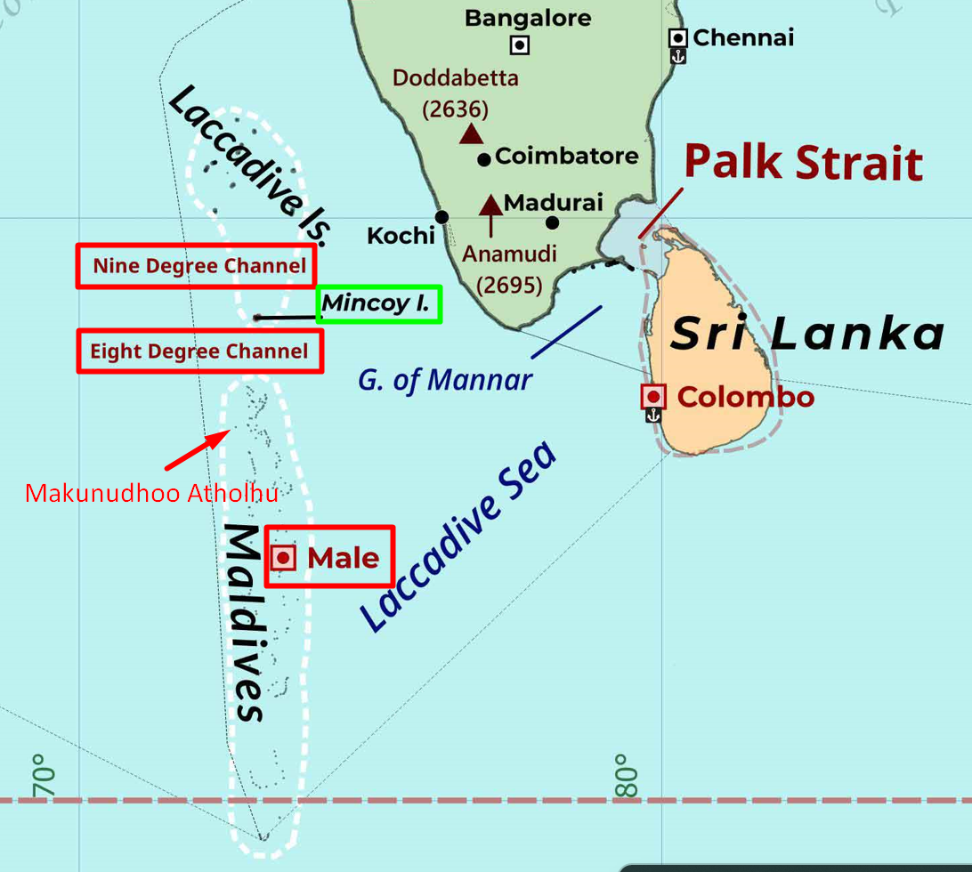
- The Chinese plan to develop a naval base and an ocean observatory in Makunudhoo Atoll, north of Male — not far from India’s Lakshadweep Islands necessitates precautionary measures.
International Law on Hydrographic Survey
- The United Nations Convention on the Law of the Sea (UNCLOS) does not explicitly authorise a coastal state to regulate hydrographic surveys or military surveys conducted beyond its territorial sea.
- A littoral state may only regulate marine scientific research in its exclusive economic zone (EEZ).


